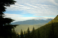
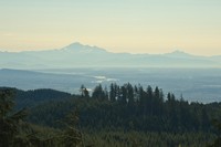
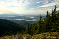
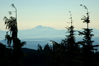
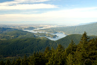
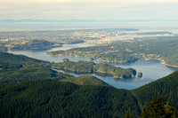
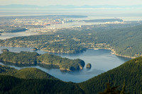
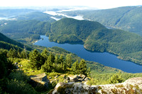
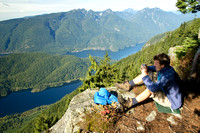
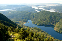
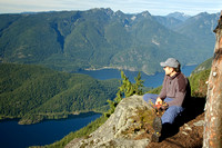
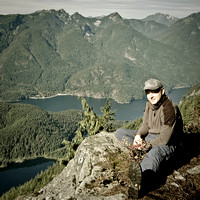
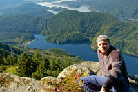
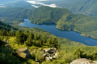
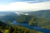
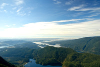
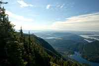
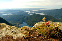
#59 Lindsay Lake Loop: 15 km roundtrip, elevation gain about 1020m, high point ~1160m, average grade 13.6%
#58 Eagle Peak Trail: 18.5 km roundtrip, elevation gain about 1150m, high point ~1280m, average grade 12.4%.
Driving distance from Vancouver - 35 km.
(from 103 Hikes in Southwestern British Columbia by J.Bryceland)
Главная страница / Y's Home page Все походы / All hikes
Category:
Subcategory:
Subcategory Detail:
Keywords:British Columbia, Eagle Peak, Eagle Ridge, Lindsay Lake, Mount Beautiful, hikes, hiking, hiking, kamorka
© Y's Vancouver Photography